The map shows the 12 km long Lido di Venezia, the scene of the opening team time trial of the 2009 Giro d'Italia as well as the Venice International Film Festival, organised by La Biennale di Venezia. Use the controls to zoom the map below to see detail in the northern end of the Lido.
Map showing the Lido of Venice
Venice Lido Travel Toolbox
The Lido di Venezia has beaches on the Adriatic sea and the Venetian lagoon. Most of the beaches are private on the north end, but there are some large public beaches on the southern end. Thomas Mann's "Death in Venice" was filmed here. Below the Lido is Pellastrina, another narrow slice of land that trends toward Chioggia.
For planning your beach trip: Venice Weather and Historic Climate
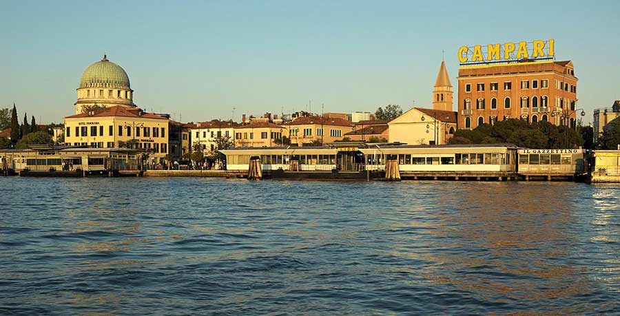
Getting to the Lido from Venice
Water buses 1, 6, 11, 52 or 82 ply the lagoon between Venice and the Lido.
Where to Stay
Lodging on the lido tends to be concentrated in the area right across from Venice proper. The Art Nouveau Grande Albergo Ausonia & Hungaria Wellness & SPA is highly rated. St. Mark’s Square is a 15-minute ride away on the vaporetto water bus.
Less expensive is the Villa Casanova. They'll lend you a bike, one of the best ways to explore the island.
For other options, check out the booking box below.